How a Texas dryline can help storms form, and a cap can hold them back
A dryline separates moist Gulf air from dry desert air. Whether storms develop also depends on the atmosphere above that boundary.
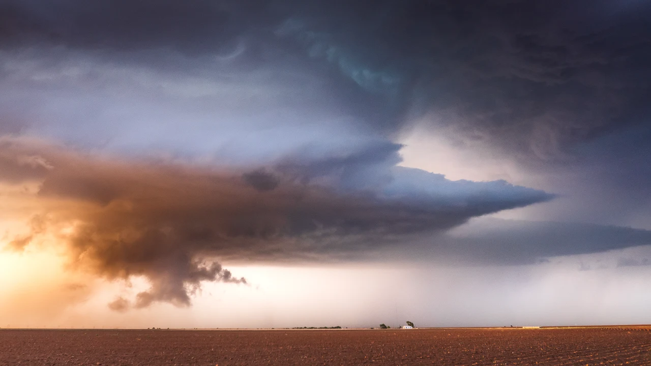

A dryline in a Texas forecast marks a boundary between moist and dry air, not a promise of rain at a particular address. Thunderstorms can develop along that boundary. Whether they do also depends on the atmosphere above it, including a layer of warmer air that can hold rising air back.
The National Weather Service says a dryline commonly runs roughly north to south across the central and southern High Plains during spring and early summer. Moist air from the Gulf of Mexico lies to its east; drier air from the southwestern deserts lies to its west. The name refers to that moisture contrast.
In a typical daily pattern, the Weather Service says, the boundary advances east during the afternoon and retreats west at night. A strong storm system can instead push it far east, even into the Mississippi Valley, regardless of the hour. Those descriptions are tendencies, not a timetable a reader can apply to a particular Texas town. [1]
At the ground, a passing dryline can bring a sharp humidity drop, a change in wind direction and clearing skies. Blowing dust and rising temperatures may follow, particularly during daytime. The Weather Service describes the opposite changes as the line retreats westward. Those surface changes can accompany the boundary without rain falling at that location.
The Weather Service says thunderstorms often form along the line or in the moist air just east of it. But the atmosphere above the surface matters too. Meteorologists use cap for a layer of relatively warm air aloft that suppresses or delays thunderstorm development. Rising air becomes cooler than that surrounding layer, inhibiting further ascent. [1] [2]
A cap can keep thunderstorms from forming even when substantial instability is present. If it weakens or is removed, rapid storm development can follow. That conditional relationship helps explain why forecasters can discuss ingredients for severe weather without saying that every place with warm, moist air will get a storm. The condition of the air overhead is part of the question. [2]
NOAA's account of May 3, 2021, describes Texas thunderstorms forming along a dryline and producing hail and tornadoes. Its satellites tracked the developing storms. That is an account of a particular past event, not evidence of a storm threat today or a rule that every dryline produces the same result. The account was published on May 6, 2021. [3]
For planning, keep this explanation separate from a current forecast. Understanding a dryline helps make sense of a meteorologist's discussion of moisture, movement and a cap. It does not replace local forecasts, watches or warnings. Check current messages for the place and time of your plans rather than using a historical storm photograph or a general seasonal pattern as your guide.
If an outdoor plan depends on the weather, look for whether forecasters expect storms near that location and during what period. A dryline explains one part of the atmospheric setup. It cannot tell you, on its own, whether your afternoon will stay dry.
Sources
- NOAA National Weather ServiceA boundary separating moist and dry air masses ... typically advances eastward during the afternoon and retreats westward at night ... thunderstorms often develop along a dry line or in the moist air just to the east of it.
- NOAA National Weather ServiceA layer of relatively warm air aloft ... suppresses or delays the development of thunderstorms ... if the cap is removed or weakened, then explosive thunderstorm development can occur.
- NOAA NESDISSevere thunderstorms struck Texas on May 3, 2021. The storms formed along a dry line ... The storms caused hail and tornadoes.